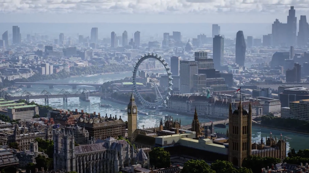
Google Maps Announces ‘Immersive View’ Feature To Generate Highly Detailed 3D Images

Google Maps is a very popular navigation app, helping over one billion users around the world. As the company continued to grow and develop its technology, users can expect an exciting new feature that will transform how they will explore the real world.
Dubbed as ‘Immersive View’, the new Google Maps feature will use the magic of AI to combine billions of Street View images with satellite images and create a digital model of a real city. “With our new immersive view, you’ll be able to experience what a neighborhood, landmark, restaurant or popular venue is like — and even feel like you’re right there before you ever set foot inside,” Google said in a press release. “So whether you’re traveling somewhere new or scoping out hidden local gems, immersive view will help you make the most informed decisions before you go.”
Google Maps’s new ‘Immersive View’ combines Street View with satellites: https://t.co/N99mv1RGCj pic.twitter.com/NtZ7Zd2mG8
— The Verge (@verge) May 11, 2022
So you can fly through the city skyline, explore the interior of restaurants, get up close with famous landmarks, and much more.
A time slider feature is available for users to view activity in an area at certain times of the day, as well as weather and traffic conditions.
Immersive view is expected to arrive in Los Angeles, London, New York, San Francisco, and Toyko in 2022, with more major cities to follow.
With this amount of detail, you could theoretically visit the seven wonders of the world without even leaving your driveway. That’s a lot you would be saving on gas!


